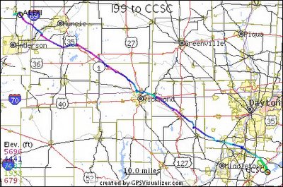
Update: GPS Visualizer now works with Google Maps!
Sailplanes are more fun. For information about joining CISS or taking an introductory flight, check out our main webpage. The link is in the sidebar.


|
|
| Subscribe to CISS-blog-emailer |
| CISS-blog-emailer |
1 comment:
Now with sample image goodness.
Post a Comment